Welcome to
Whitehorse

Canada’s Wilderness City and the Yukon’s vibrant capital. Surrounded by mountains and the Yukon River, Whitehorse blends modern comfort with instant access to pristine northern wilderness.

Whitehorse attractions & services!

Whitehorse City Map Guide

Whitehorse Map Guide

Maps • Attractions • Services

View the virtual guide or request a guide to be mailed to you.
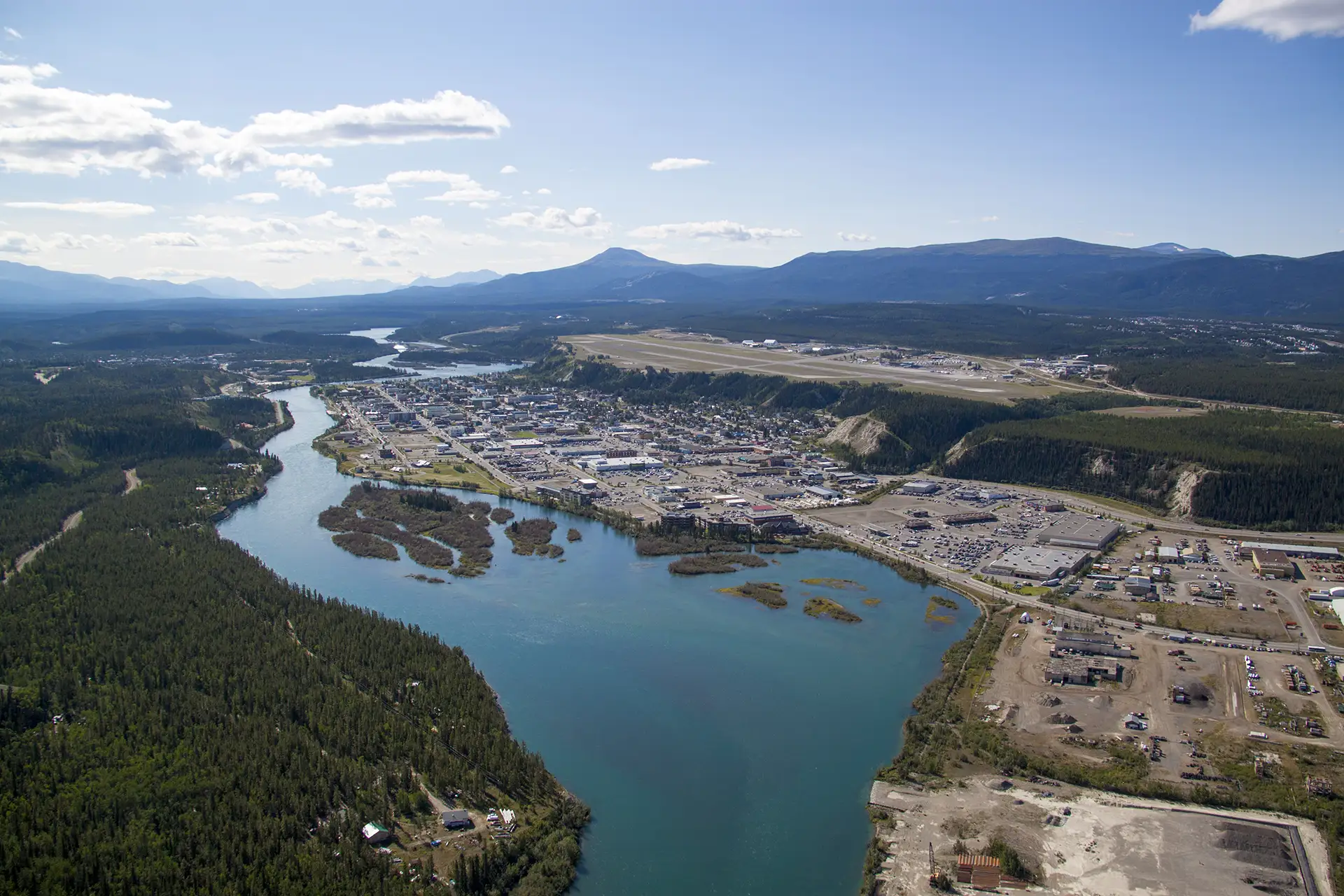
Aerial photo of Whitehorse, from north side showing the Yukon River alongside the town.

A Wilderness City

Whitehorse is the Yukon’s capital and largest city, set along the Yukon River and surrounded by mountains, forest, and an extensive trail network that begins right in town. It offers easy access to hiking, paddling, wildlife viewing, and northern lights, alongside museums, galleries, local shops, and restaurants, making it an ideal base for exploring the Yukon.
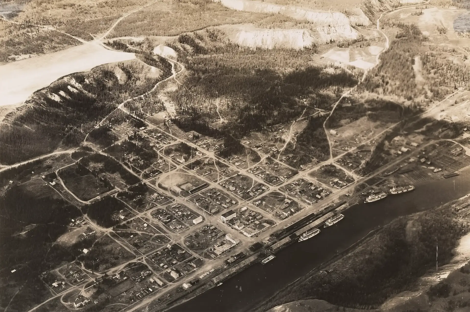
Historical photo of Whitehorse

Whitehorse History

The Whitehorse area has long been an important place for travel, fishing, and trade, with the Yukon River serving as a major transportation route. The community grew in the late nineteenth century as a river and rail centre and became the territorial capital in 1953. Today, Whitehorse is the Yukon’s administrative, cultural, and transportation hub.

Getting to Whitehorse

By Road

Accessible by road via the Alaska Highway from Alaska and northern British Columbia, and via the Stewart Cassiar Highway connecting through northwestern British Columbia.

By Air

Erik Nielsen Whitehorse International Airport (YXY) is served by Air North, Air Canada, and WestJet. For the most up to date information contact the airline directly.

Road Log

Explore the Alaska Highway Road Log, a complete guide to communities, viewpoints, and points of interest leading into and beyond Whitehorse.

Maps

Downtown Whitehorse

Whitehorse Overview

Whitehorse Subdivision Maps

Yukon Highways

Essential Whitehorse

Explore Outdoors